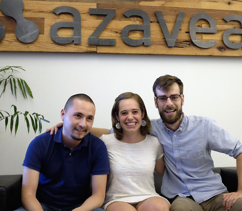


The Azavea Summer of Maps program is a 12-week fellowship where geospatial data analysis students work alongside experienced mentors to complete projects for nonprofit organizations.
The program is managed by Azavea. We are a B Corporation that applies geospatial technology, data analytics, and research for positive civic, social, and environmental impact.
As part of the Azavea Summer of Maps program, Geospatial Data Analysis Services Grants are awarded to nonprofits. Fellows work with grant recipients to complete high impact projects that aid in decision-making, have a positive community impact, and improve programming or fundraising.
Azavea Summer of Maps fellows have completed nonprofit projects in a wide array of domains including:
Azavea Summer of Maps fellows complete project work for 12 weeks during the summer, but the program is a year-round operation.
Early in the year, the Azavea Data Analytics Team reviews nonprofit project proposals and selects a shortlist of projects that meet data requirements, have challenging geospatial analysis and geographic visualization needs, and will contribute meaningful impact to the nonprofit organization and the communities they serve.
Then, students submit applications and candidates are interviewed. Qualified students are selected based on their skills and their desire to grow a career in geospatial data analysis. The top candidates are matched with challenging and meaningful projects and are awarded a paid fellowship position.
Starting in the summer, each Summer of Maps fellow manages two different nonprofit projects. The fellows are paid a stipend for their work, in addition to the opportunity to learn from mentors and Azavea staff members.
Each fellow works with two nonprofit organizations throughout the summer, acting as both the project manager and geospatial data analyst. Fellows work in Azavea’s Philadelphia office and receive one-on-one mentoring and a stipend.
“One thing that I think really stands out about Summer of Maps is that a recent college graduate is able to do work that is actually having a really positive and important impact on the world.”
– Annaka Scheeres, 2016 Summer of Maps Fellow
Nonprofits receive a Geospatial Data Analysis Services Grant providing a spatial analysis and geographic visualization project that facilitates improved operations, programming, or fundraising for the organization.
The application is open to nonprofits that are registered as a 501(c)3 organization with the IRS. We will also consider international organizations that have a registered U.S. affiliate. We are looking for nonprofit organizations with spatial analysis and geographic visualization needs. Organizations are limited to two project submissions, but no more than one is likely to be funded.
“Azavea helped us to visualize our programs’ impact in the community. With these tools in hand, our organization can continue to grow, secure funding, and continue to provide legal services to low income people with disabilities in Philadelphia and the surrounding counties.”
– Elizabeth Oquendo, Legal Clinic for the Disabled, 2015 Summer of Maps Organization
The Summer 2020 session has finished. Sign up for notifications about future opportunities.